SAN FRANCISCO—On July 31, a research article was published by the American Association for the Advancement of Science (AAAS) that identified major cities along California’s coastline at risk of “sinking” in the coming decades due to sea-level rise.
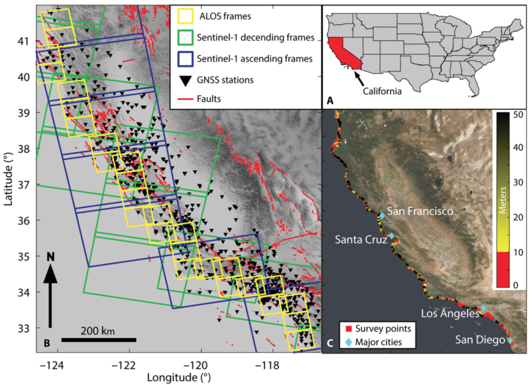
The article summarizes the work of an Arizona State University research team that tracked the vertical movement along California’s coastline. Results indicate four metropolitan areas at risk: the San Francisco Bay Area, Monterey Bay, Los Angeles, and San Diego. Estimates show that between “4.3 million and 8.7 million people” in this area are exposed to subsidence.
The article extrapolates these results to a global scale, stating that “a substantial proportion of the world’s population lives in low-lying coastal areas.” From that population almost 1-billion people live in “flood-prone areas” and this number is expected to increase “due to coastward migration.”
The research data was obtained through the United States Geological Survey’s (USGS) Global Navigation Satellite System (GNSS) in addition to precise measurements achieved through the use of interferometric synthetic aperture radar (InSAR). This satellite-based technology has the ability to measure “land surface rise and fall with millimeter accuracy.”
Prior to the advanced instrumentation, “records of high-resolution vertical land motion rates [were] scarce due to sparse instrumentation, and hazards to coastal communities are underestimated.” The new dataset has the potential to “transform the analysis of natural and anthropogenic changes in relative sea-level and associated hazards.”
AAAS works to “advance science, engineering, and innovation throughout the world for the benefit of all people.”


