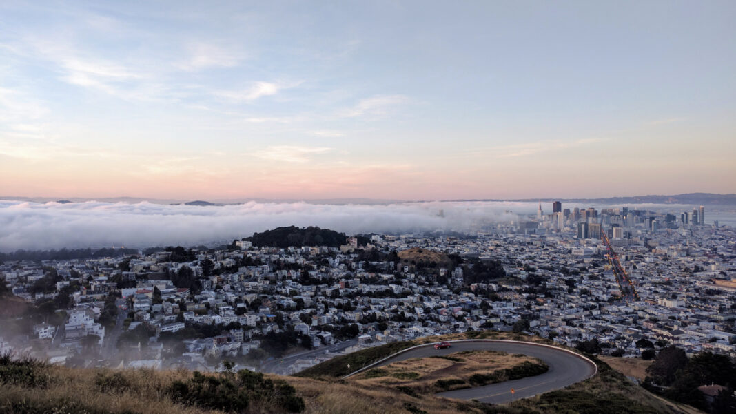
SAN FRANCISCO — The world-famous tourist attraction that overlooks the Bay Area, Twin Peaks, announced they are creating new routes to gain access to the view at the top.
The San Francisco Rec and Park Twitter account said that five new designs have been developed and they want the San Francisco residents to provide feedback in a link attached to the tweet.
The survey takes approximately five minutes to be completed and it inquires about a variety of topics, with questions such as “what is your preferred way to access Twin Peaks?” Or, “what is the total annual income of everyone in your household?” There are also pictures of the newly designed roads with specific questions adjacent to the image.
The San Francisco Municipal Transportation Agency said they are trying to make access easier for visitors with disabilities, provide spaces for walking and rolling while being socially distant, and reduce the impact the park has on its neighbors.
This known attraction offers a 0.7 mile hiking trail that leads to an expansive view of San Francisco from 922 feet above ground, making it the second largest peak in the city — behind Mount Davidson. Current accessibility is off of Twin Peaks Boulevard, a mile up the road to the parking lot.


