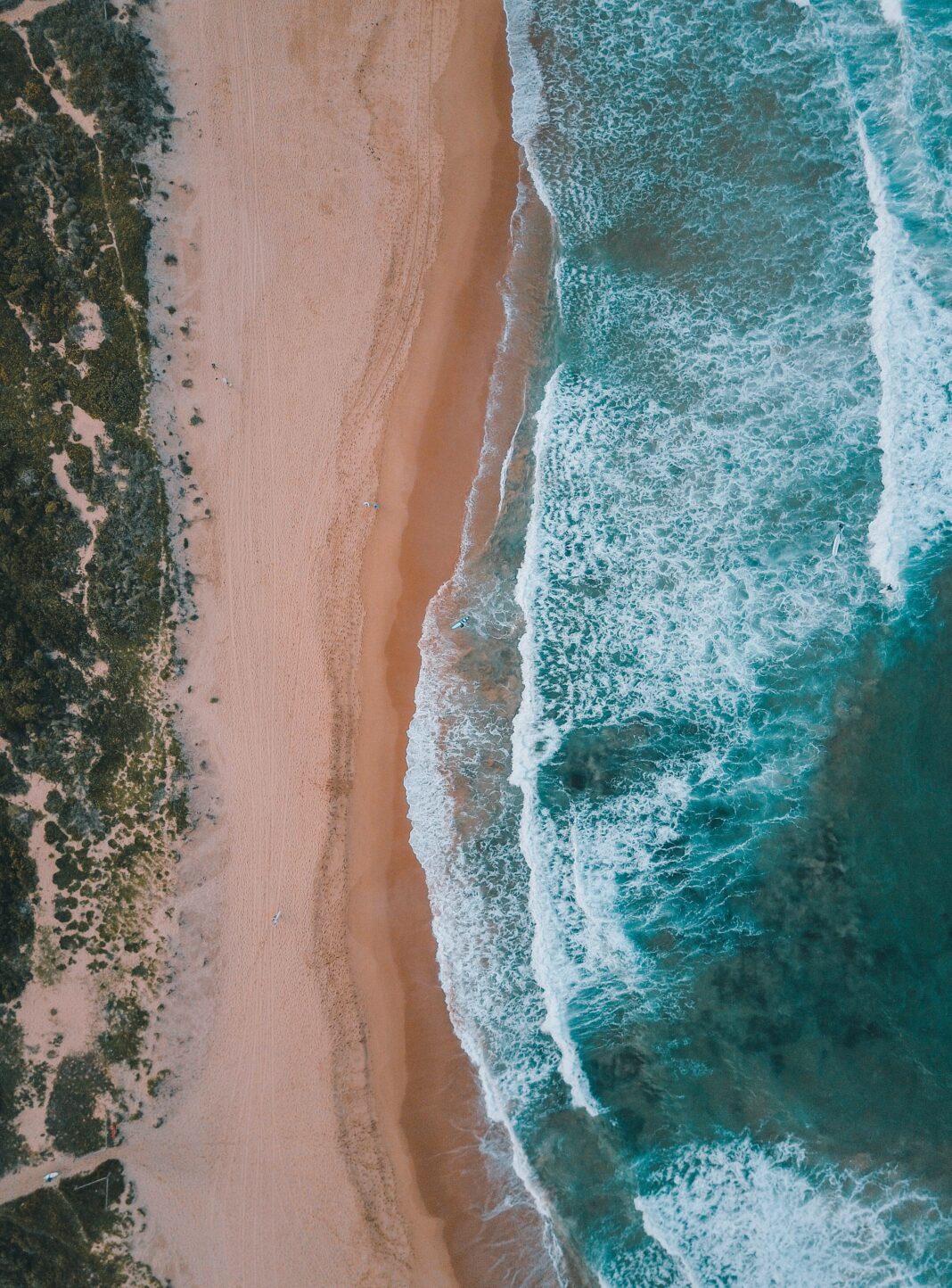
SAN FRANCISCO—The National Weather Service released a new statement regarding hazardous beach weather beginning Tuesday, December 29 through Wednesday, December 30, for the regions of San Francisco, the entire coast of Sonoma, and Big Sur. The statement indicated that the areas of Ocean Beach, Montara State Beach, Halfmoon Bay State Beach, Manresa State Beach, and Marina State Beach are included.
“A long period [of] west northwest swell with initial periods in excess of 20 seconds will bring a threat of dangerous sneaker waves and strong rip currents to area beaches,” the statement reads.
The NWS explained that an ocean swell is a type of wave that leaves an area where there was a storm – they can prolong and become smaller in height as they are leaving the area. “Swells organize into groups smooth and regular in appearance. They are able to travel thousands of miles unchanged in height and period,” the NWS said.
Swells sort themselves out as they leave the area where the storm was “with the long ones ahead of the short ones, and the energy is simultaneously spread out over an increasingly larger area,” stated the National Weather Service.
Swell waves are expected to hit beaches from Sonoma to Big Sur, “Initial forerunner waves of 21 to 23 seconds will begin to arrive along the Sonoma coast late this afternoon before spreading southward during the evening hours.” By December 30, the National Weather Service noted they expect the wave heights to increase to 5-9 feet every 18- 20 seconds. There is also a high risk of sneaker waves.
Sneaker waves can be deadly because they “can suddenly and without warning surge dozens of feet higher up the beach than expected, overtaking the unwary.” They are called sneaker waves because they frequently show up without warning, which can potentially promote a beachgoer into thinking they are safe on the beach, said the weather service.
“However, this quiet period of gentle waves can suddenly change to large waves that can run high up on the beach, with great speed and force, catching these individuals off guard,” the statement from the NWS reads.
Sneaker waves are expected to arrive “every few minutes to as infrequently as once every 30 minutes during otherwise deceptively calmer seas” on Tuesday and Wednesday.
Rip currents, which can be deadly because their speed can be about 1-2 feet per second, are expected particularly at the west-northwest facing beaches, said the statement.
“A rip current is a horizontal motion, not a vertical motion. Rip currents do not pull people under the water; they pull people away from shore. The rip current is typically the strongest about a foot off of the bottom, which can cause your feet to be knocked out from under you making it feel like something under the water was pulling you,” the National Weather Service explained.
The NWS and local authorities noted they advise against walking along coastal jetties, docks, piers, or shorelines because the waves may catch an individual off-guard and may cause injury or knock a beachgoer into the ocean.


