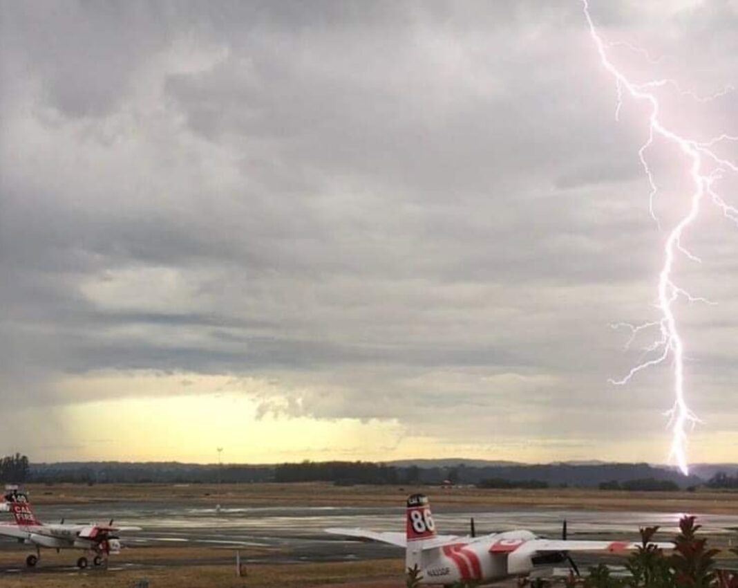
SAN FRANCISCO—The National Weather Service extended on Sunday, August 16 a red flag fire warning for the San Francisco Bay Area until 11 a.m. Monday, August 17.
The affected areas include:
- Coastal North Bay Including Point Reyes National Seashore
- North Bay Interior Valleys-North Bay Mountains
- San Francisco Bay Shoreline-San Francisco Peninsula Coast
- East Bay Interior Valleys-East Bay Hills and the Diablo Range
- Santa Cruz Mountains-Santa Clara Valley Including San Jose
- Northern Monterey Bay
According to the National Weather Service, “thunderstorms are forecast to develop over the South Bay and Santa Cruz region overnight and then spread northward through Sunday.”
Lightning strikes can cause new fire starts due to the current long duration heat wave. Wind will be light except for breezy onshore winds in the afternoon. Locally gusty winds are possible. Humidity will be 30 percent to 50 percent across the interior and 60 percent to 90 percent in the Bay Area.
The number of wildfires will increase in proximity to thunderstorms due to lightning. “Fires may spread rapidly due to dry fuels and, if nearshore, breezy onshore winds,” stated the National Weather Service.
The Bay Area NWS tweeted with an infrared imagery, showing where the moisture which causes thunderstorms comes from.
Wondering where this moisture is coming from bringing us these thunderstorms? Check out this GOES-17 infrared imagery and follow the moisture back to Tropical Storm Fausto#CAwx pic.twitter.com/cOWq5pABcs
— NWS Bay Area (@NWSBayArea) August 16, 2020
CAL FIRE has already reported more than 10 fires due to lightning as of 10 a.m. on August 16, including the ones in Eden Valley area in Hopeland.
#CALFIREMEU # LIGHTNING pic.twitter.com/uVkjZ2NHYS
— CAL FIRE Mendocino (@CALFIRE_MEU) August 16, 2020


