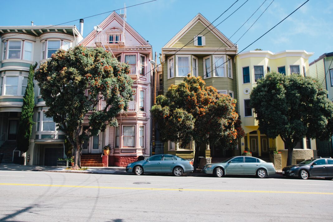
SAN FRANCISCO—On Thursday, July 16, the San Francisco Municipal Transportation Agency announced that they would be expanding the San Francisco’s Slow Streets network. 14 streets will be added to the network which aims to reduce traffic in residential areas during the coronavirus pandemic to increase space for exercising and improve access to services.
Oakland installed barriers for their network in April and San Francisco, Alameda, and Redwood City followed. San Mateo, Berkeley, and San Jose are now considering installing barriers in their residential areas.
The following portions of streets will be barricaded for the city’s Slow Streets network:
- 20th Street from San Bruno Avenue to Pennsylvania Avenue
- Arkansas Street from 23rd Street to 17th Street
- Arlington Street from Roanoke Street to Randall Street
- Cabrillo Street from 45th Avenue to 23rd Avenue
- Cayuga Avenue from Naglee Avenue to Rousseau Street
- Clay Street from Arguello Boulevard to Steiner Street
- Duncan Street from Diamond Heights Boulevard to Tiffany Avenue
- Holly Park Circle
- Mariposa Street from Texas Street to Mississippi Street
- Minnesota Street from Mariposa Street to 22nd Street
- Noe Street from 23rd Street to Duboce Street
- Pacific Avenue from Steiner Street to Gough Street
- Pierce Street from Hayes Street to Duboce Street
- Tompkins Avenue from Andover Street to Peralta Avenue


